

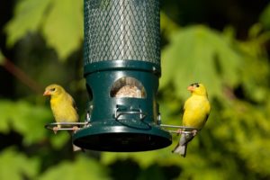
Online Nature Store
Shop our selection of optics, books, bird feeders and seed, field guides, locally and more.
Learn MoreWe are proud to continue our mission under our new name, and make our organization a more welcoming place for all people.
Shop our selection of optics, books, bird feeders and seed, field guides, locally and more.
Learn More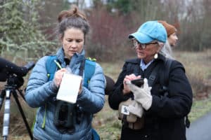
Community science is a great way to have fun, learn about the natural world, and make a difference for wildlife.
Learn More
Join more than 5,000 properties in the Metro Area that are restoring habitat, one yard at a time.
Learn More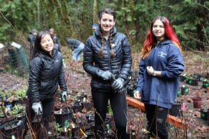
Be a part of the Bird Alliance of Oregon flock and help build a region where people and wildlife flourish together!
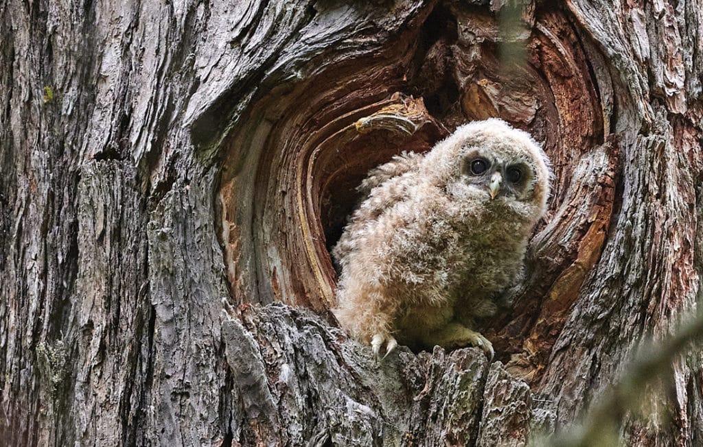
Learn MoreFrom the coast to Portland to Eastern Oregon, discover the best places to explore native birds and the natural beauty of Oregon.
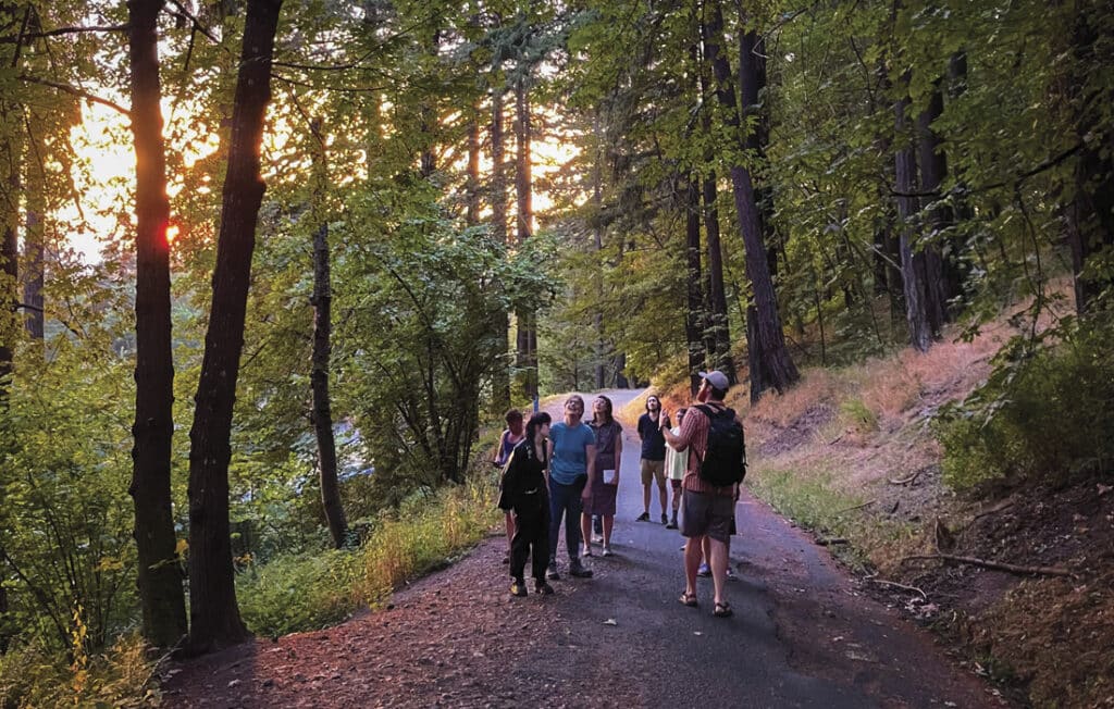
Find ResourcesVisit us at our free Wildlife Sanctuary, and enjoy 172-acres of habitat and more than 4 miles of trails just 10 minutes from downtown Portland.
Visit Us